
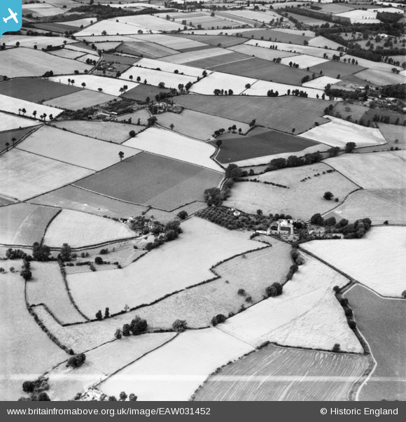
EAW031452 ENGLAND (1950). Beobridge Grange and environs, Claverley, 1950. This image was marked by Aerofilms Ltd for photo editing.
© Copyright OpenStreetMap contributors and licensed by the OpenStreetMap Foundation. 2026. Cartography is licensed as CC BY-SA.
Nearby Images (14)
EAW031452

EAW031450

EAW031440

EAW031438

EAW031444

EAW031437

EAW031442

EAW031445

EAW031441

EAW031443

EAW031439

EAW031436

EAW032629

EAW032628

Details
| Title | [EAW031452] Beobridge Grange and environs, Claverley, 1950. This image was marked by Aerofilms Ltd for photo editing. |
| Reference | EAW031452 |
| Date | 25-July-1950 |
| Link | |
| Place name | CLAVERLEY |
| Parish | CLAVERLEY |
| District | |
| Country | ENGLAND |
| Easting / Northing | 378357, 291224 |
| Longitude / Latitude | -2.3189897970908, 52.51810339231 |
| National Grid Reference | SO784912 |
Pins

totoro |
Saturday 24th of May 2014 09:18:50 PM | |
|
totoro |
Saturday 24th of May 2014 09:16:39 PM | |
|
totoro |
Saturday 24th of May 2014 09:14:06 PM | |
|
totoro |
Saturday 24th of May 2014 09:10:28 PM |