
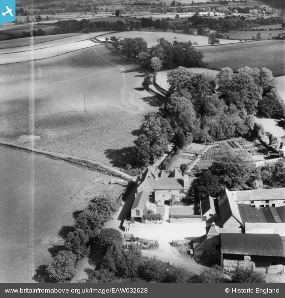
EAW032628 ENGLAND (1950). Beobridge Grange, Lower Beobridge, 1950. This image was marked by Aerofilms Ltd for photo editing.
© Copyright OpenStreetMap contributors and licensed by the OpenStreetMap Foundation. 2026. Cartography is licensed as CC BY-SA.
Nearby Images (11)
EAW032628

EAW032629

EAW031436

EAW031439

EAW031437

EAW031438

EAW031440

EAW031450

EAW031452

EAW031442

EAW031444

Details
| Title | [EAW032628] Beobridge Grange, Lower Beobridge, 1950. This image was marked by Aerofilms Ltd for photo editing. |
| Reference | EAW032628 |
| Date | 18-September-1950 |
| Link | |
| Place name | LOWER BEOBRIDGE |
| Parish | CLAVERLEY |
| District | |
| Country | ENGLAND |
| Easting / Northing | 378597, 291295 |
| Longitude / Latitude | -2.3154571384493, 52.5187512204 |
| National Grid Reference | SO786913 |
Pins
Be the first to add a comment to this image!