
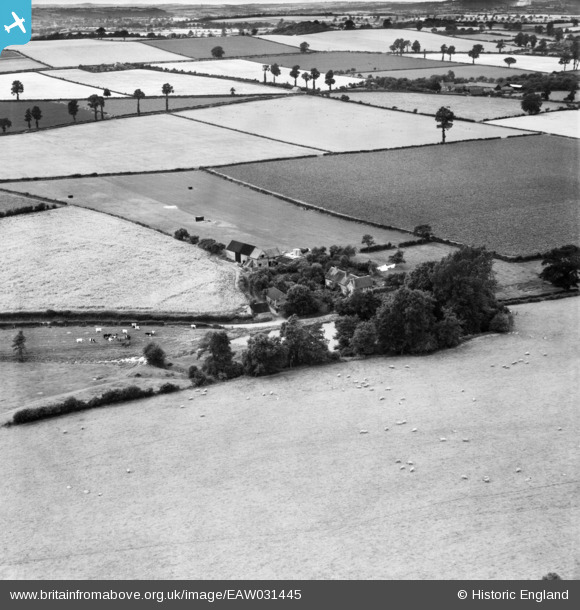
EAW031445 ENGLAND (1950). The disused mill and mill pond at Lower Beobridge, Claverley, 1950
© Copyright OpenStreetMap contributors and licensed by the OpenStreetMap Foundation. 2026. Cartography is licensed as CC BY-SA.
Nearby Images (13)
EAW031445

EAW031441

EAW031442

EAW031443

EAW031444

EAW031450

EAW031452

EAW031440

EAW031438

EAW031437

EAW031439

EAW031436

EAW032629

Details
| Title | [EAW031445] The disused mill and mill pond at Lower Beobridge, Claverley, 1950 |
| Reference | EAW031445 |
| Date | 25-July-1950 |
| Link | |
| Place name | CLAVERLEY |
| Parish | CLAVERLEY |
| District | |
| Country | ENGLAND |
| Easting / Northing | 378371, 291039 |
| Longitude / Latitude | -2.3187714207534, 52.516440648091 |
| National Grid Reference | SO784910 |
Pins
Be the first to add a comment to this image!