
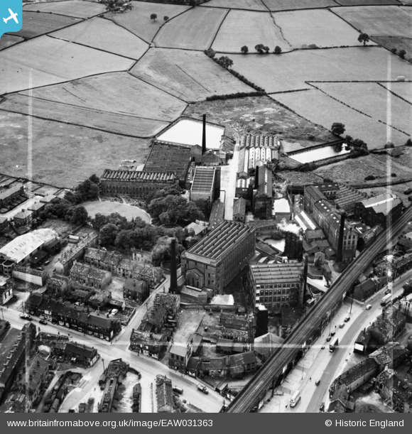
EAW031363 ENGLAND (1950). Leigh Mills, Stanningley, 1950. This image was marked by Aerofilms Ltd for photo editing.
© Copyright OpenStreetMap contributors and licensed by the OpenStreetMap Foundation. 2026. Cartography is licensed as CC BY-SA.
Nearby Images (20)
EAW031363

EPW023834

EAW025235

EAW025238

EAW031362

EAW031369

EAW031368

EAW025232

EAW031367

EAW031364

EAW031365

EPW034273

EPW028887

EAW031366

EAW025234

EAW025233

EPW023836

EAW025236

EAW025231

EAW025230

Details
| Title | [EAW031363] Leigh Mills, Stanningley, 1950. This image was marked by Aerofilms Ltd for photo editing. |
| Reference | EAW031363 |
| Date | 26-July-1950 |
| Link | |
| Place name | STANNINGLEY |
| Parish | |
| District | |
| Country | ENGLAND |
| Easting / Northing | 421904, 434204 |
| Longitude / Latitude | -1.6673725756932, 53.8034585561 |
| National Grid Reference | SE219342 |
Pins
Be the first to add a comment to this image!