
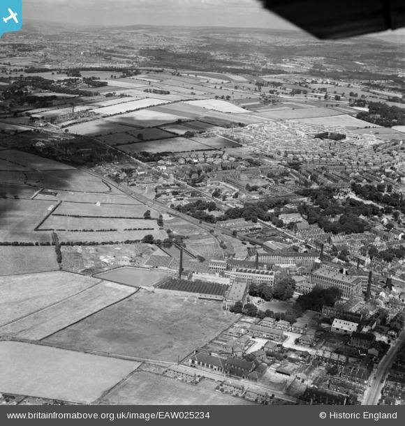
EAW025234 ENGLAND (1949). The Leigh Worsted Mills and the surrounding area, Pudsey, from the east, 1949
© Copyright OpenStreetMap contributors and licensed by the OpenStreetMap Foundation. 2026. Cartography is licensed as CC BY-SA.
Nearby Images (22)
EAW025234

EAW031367

EAW031368

EAW031369

EAW025235

EPW023834

EAW031366

EAW025233

EAW025236

EAW031362

EAW031363

EAW031365

EAW031364

EAW025238

EAW025231

EAW025232

EAW025230

EPW034273

EPW028887

EAW025239

EPW023836

EPW034279

Details
| Title | [EAW025234] The Leigh Worsted Mills and the surrounding area, Pudsey, from the east, 1949 |
| Reference | EAW025234 |
| Date | 26-July-1949 |
| Link | |
| Place name | PUDSEY |
| Parish | |
| District | |
| Country | ENGLAND |
| Easting / Northing | 421889, 434111 |
| Longitude / Latitude | -1.6676069685621, 53.802623224149 |
| National Grid Reference | SE219341 |
Pins

James |
Wednesday 21st of December 2022 08:13:06 AM |