
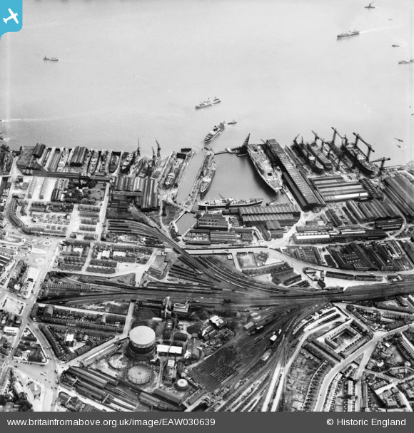
EAW030639 ENGLAND (1950). The Cammell Laird Shipbuilding and Engineering Works, Birkenhead, 1950
© Copyright OpenStreetMap contributors and licensed by the OpenStreetMap Foundation. 2026. Cartography is licensed as CC BY-SA.
Nearby Images (11)
EAW030639

EAW028439

EAW029265

EAW001718

EAW030638

EAW030644

EAW030641

EAW029264

EAW051427

EAW030640

EAW029270

Details
| Title | [EAW030639] The Cammell Laird Shipbuilding and Engineering Works, Birkenhead, 1950 |
| Reference | EAW030639 |
| Date | 29-June-1950 |
| Link | |
| Place name | BIRKENHEAD |
| Parish | |
| District | |
| Country | ENGLAND |
| Easting / Northing | 332806, 388231 |
| Longitude / Latitude | -3.0104008074168, 53.386378636527 |
| National Grid Reference | SJ328882 |
Pins

Paul |
Thursday 29th of November 2018 09:42:28 AM |