
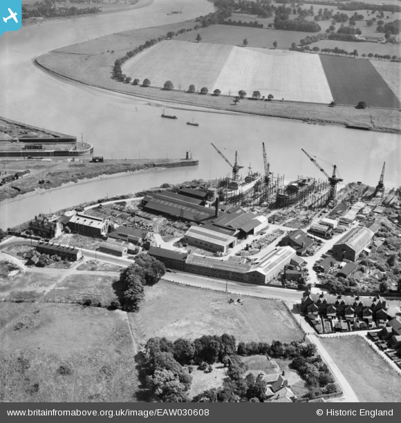
EAW030608 ENGLAND (1950). The Goole Shipbuilding and Repairing Co Ltd Works, Goole, 1950
© Copyright OpenStreetMap contributors and licensed by the OpenStreetMap Foundation. 2026. Cartography is licensed as CC BY-SA.
Nearby Images (26)
EAW030608

EAW030605

EAW030614

EAW030616

EAW030603

EAW030610

EAW030611

EAW030609

EAW030612

EPW031423

EAW030604

EAW030615

EAW030606

EAW022512

EAW030607

EAW030613

EPW031445

EAW046156

EPW031444

EPW031449

EPW031446

EPW031447

EAW022515

EPW031452

EAW046153

EPW031424

Details
| Title | [EAW030608] The Goole Shipbuilding and Repairing Co Ltd Works, Goole, 1950 |
| Reference | EAW030608 |
| Date | 29-June-1950 |
| Link | |
| Place name | GOOLE |
| Parish | GOOLE |
| District | |
| Country | ENGLAND |
| Easting / Northing | 474852, 422750 |
| Longitude / Latitude | -0.86620821574395, 53.69559347585 |
| National Grid Reference | SE749228 |
