
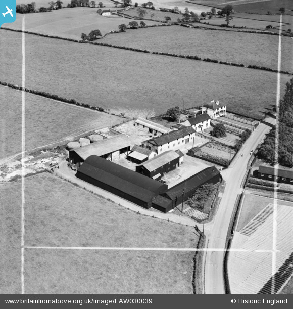
EAW030039 ENGLAND (1950). Ash Tree Farm, Little Leigh, 1950. This image was marked by Aerofilms Ltd for photo editing.
© Copyright OpenStreetMap contributors and licensed by the OpenStreetMap Foundation. 2026. Cartography is licensed as CC BY-SA.
Nearby Images (23)
EAW030039

EAW030017

EAW030038

EAW030036

EAW030037

EAW001904

EAW030018

EPW032591

EAW001902

EAW001901

EAW001899

EAW001903

EAW030043

EAW030041

EAW001900

EPW032586

EPW057552

EPW032587

EAW016760

EAW030023

EPW032584

EPW057560

EPW057555

Details
| Title | [EAW030039] Ash Tree Farm, Little Leigh, 1950. This image was marked by Aerofilms Ltd for photo editing. |
| Reference | EAW030039 |
| Date | 1-June-1950 |
| Link | |
| Place name | LITTLE LEIGH |
| Parish | LITTLE LEIGH |
| District | |
| Country | ENGLAND |
| Easting / Northing | 361613, 377362 |
| Longitude / Latitude | -2.5759431505131, 53.291554443052 |
| National Grid Reference | SJ616774 |
Pins
Be the first to add a comment to this image!