
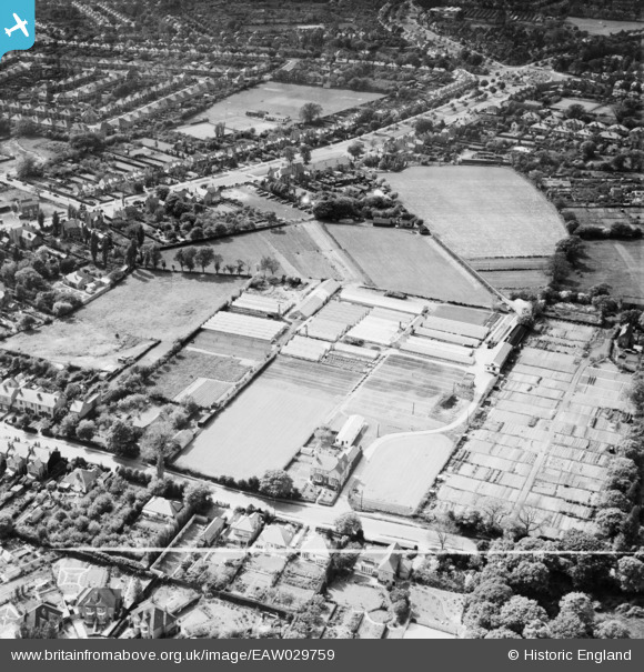
EAW029759 ENGLAND (1950). The Sandy Hill Nursery and the surrounding area, Shirley, 1950. This image was marked by Aerofilms Ltd for photo editing.
© Copyright OpenStreetMap contributors and licensed by the OpenStreetMap Foundation. 2026. Cartography is licensed as CC BY-SA.
Nearby Images (14)
EAW029759

EAW029761

EAW029760

EAW029757

EAW029754

EPW059190

EAW029762

EPW059192

EPW059191

EAW029755

EAW029756

EPW059194

EAW029758

EPW059193

Details
| Title | [EAW029759] The Sandy Hill Nursery and the surrounding area, Shirley, 1950. This image was marked by Aerofilms Ltd for photo editing. |
| Reference | EAW029759 |
| Date | 31-May-1950 |
| Link | |
| Place name | SHIRLEY |
| Parish | |
| District | |
| Country | ENGLAND |
| Easting / Northing | 411750, 280099 |
| Longitude / Latitude | -1.8272113205202, 52.418381849327 |
| National Grid Reference | SP118801 |
Pins
Be the first to add a comment to this image!