
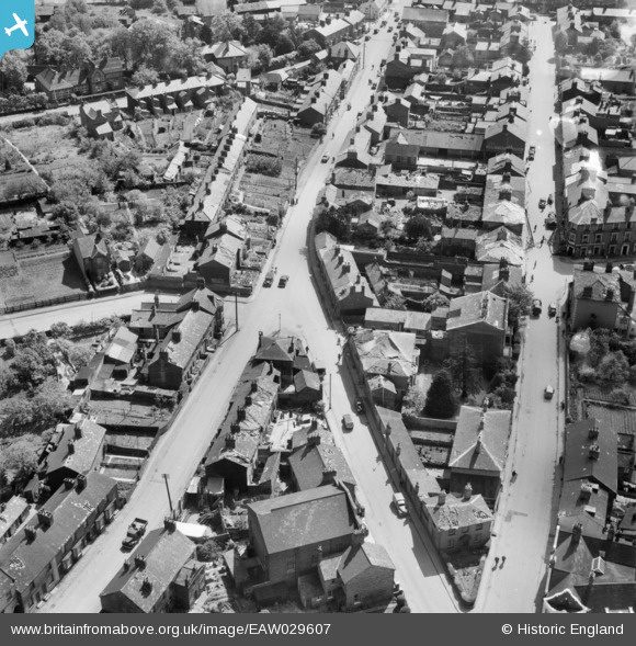
EAW029607 ENGLAND (1950). Old Road and New Road, Linslade, 1950
© Copyright OpenStreetMap contributors and licensed by the OpenStreetMap Foundation. 2026. Cartography is licensed as CC BY-SA.
Nearby Images (10)
EAW029607

EAW029605

EAW029604

EAW029606

EAW029602

EAW029603

EPW056945

EPW056943

EAW016586

EPW056944

Details
| Title | [EAW029607] Old Road and New Road, Linslade, 1950 |
| Reference | EAW029607 |
| Date | 22-May-1950 |
| Link | |
| Place name | LINSLADE |
| Parish | LEIGHTON-LINSLADE |
| District | |
| Country | ENGLAND |
| Easting / Northing | 491276, 225135 |
| Longitude / Latitude | -0.6727283040436, 51.916817278907 |
| National Grid Reference | SP913251 |
Pins
Be the first to add a comment to this image!