
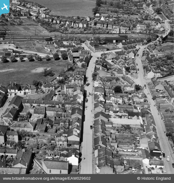
EAW029602 ENGLAND (1950). New Road and environs, Linslade, 1950
© Copyright OpenStreetMap contributors and licensed by the OpenStreetMap Foundation. 2026. Cartography is licensed as CC BY-SA.
Nearby Images (10)
EAW029602

EAW029604

EAW029606

EAW029605

EAW029607

EAW029603

EPW056945

EPW056943

EPW056944

EAW016586

Details
| Title | [EAW029602] New Road and environs, Linslade, 1950 |
| Reference | EAW029602 |
| Date | 22-May-1950 |
| Link | |
| Place name | LINSLADE |
| Parish | LEIGHTON-LINSLADE |
| District | |
| Country | ENGLAND |
| Easting / Northing | 491283, 225086 |
| Longitude / Latitude | -0.67263953582478, 51.916375648087 |
| National Grid Reference | SP913251 |
Pins

Sparky |
Monday 23rd of October 2017 06:47:09 PM |