
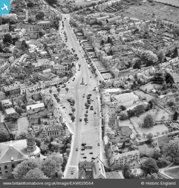
EAW029564 ENGLAND (1950). Horse Fair and the town centre, Banbury, 1950
© Copyright OpenStreetMap contributors and licensed by the OpenStreetMap Foundation. 2026. Cartography is licensed as CC BY-SA.
Nearby Images (20)
EAW029564

EPW006004

EAW006322

EAW006314

EPW028255

EAW029563

EPW028256

EPW028252

EAW006313

EAW006312

EPW028260

EAW006315

EAW006319

EAW006318

EAW006320

EAW006321

EAW006316

EAW006317

EPW028257

EPW010584

Details
| Title | [EAW029564] Horse Fair and the town centre, Banbury, 1950 |
| Reference | EAW029564 |
| Date | 22-May-1950 |
| Link | |
| Place name | BANBURY |
| Parish | BANBURY |
| District | |
| Country | ENGLAND |
| Easting / Northing | 445314, 240414 |
| Longitude / Latitude | -1.3389837822707, 52.05983179012 |
| National Grid Reference | SP453404 |
Pins

Billy Turner |
Thursday 26th of January 2017 07:01:28 PM | |

Coventry kid |
Monday 28th of April 2014 04:36:00 PM |

User Comment Contributions
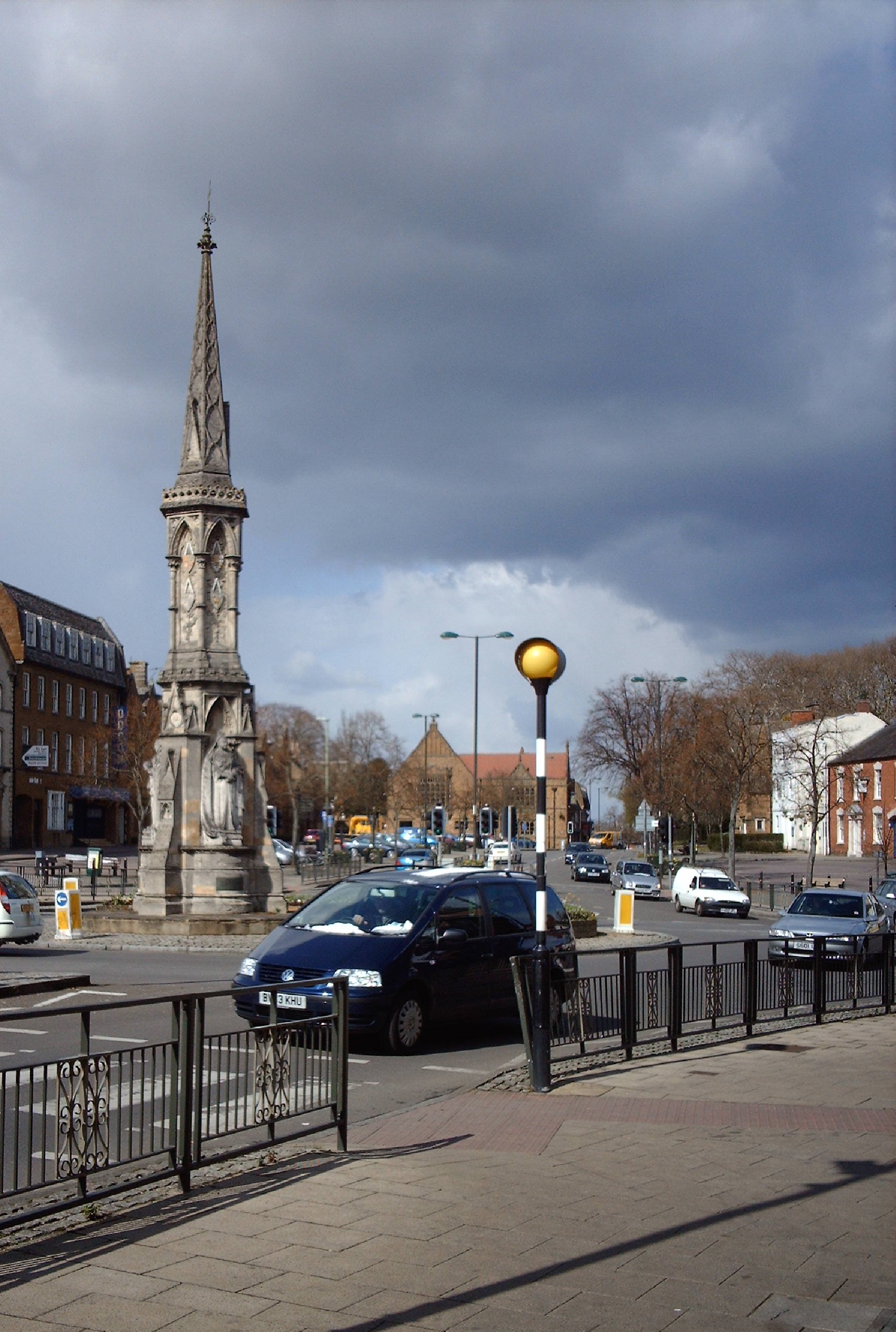
Banbury Cross, 05/04/2008 |

Class31 |
Thursday 30th of April 2015 08:43:18 AM |