
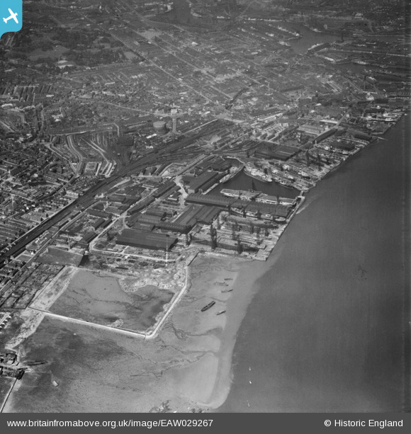
EAW029267 ENGLAND (1950). Cammell Laird and Co Ltd Shipbuilding and Engineering Works and environs, Birkenhead, 1950
© Copyright OpenStreetMap contributors and licensed by the OpenStreetMap Foundation. 2026. Cartography is licensed as CC BY-SA.
Nearby Images (20)
EAW029267

EAW029269

EAW030646

EAW029268

EAW029263

EPW004021

EAW030637

EAW029261

EAW030648

EAW030643

EAW029265

EAW030636

EAW030649

EAW029270

EAW030644

EAW030647

EAW029264

EAW029260

EAW029266

EPW050657

Details
| Title | [EAW029267] Cammell Laird and Co Ltd Shipbuilding and Engineering Works and environs, Birkenhead, 1950 |
| Reference | EAW029267 |
| Date | 11-May-1950 |
| Link | |
| Place name | BIRKENHEAD |
| Parish | |
| District | |
| Country | ENGLAND |
| Easting / Northing | 332930, 387941 |
| Longitude / Latitude | -3.0084749241249, 53.383787810026 |
| National Grid Reference | SJ329879 |
Pins
Be the first to add a comment to this image!