
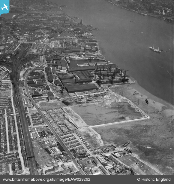
EAW029262 ENGLAND (1950). Cammell Laird and Co Ltd Shipbuilding and Engineering Works, Birkenhead, 1950
© Copyright OpenStreetMap contributors and licensed by the OpenStreetMap Foundation. 2026. Cartography is licensed as CC BY-SA.
Nearby Images (19)
EAW029262

EAW030645

EAW029260

EAW030642

EAW028435

EAW028441

EAW028436

EAW030636

EPW004028

EAW030643

EAW028438

EAW028442

EPW004021

EAW029268

EAW029261

EAW029263

EPW050657

EAW028437

EAW030648

Details
| Title | [EAW029262] Cammell Laird and Co Ltd Shipbuilding and Engineering Works, Birkenhead, 1950 |
| Reference | EAW029262 |
| Date | 11-May-1950 |
| Link | |
| Place name | BIRKENHEAD |
| Parish | |
| District | |
| Country | ENGLAND |
| Easting / Northing | 332960, 387678 |
| Longitude / Latitude | -3.0079680810111, 53.38142771023 |
| National Grid Reference | SJ330877 |
Pins
Be the first to add a comment to this image!