
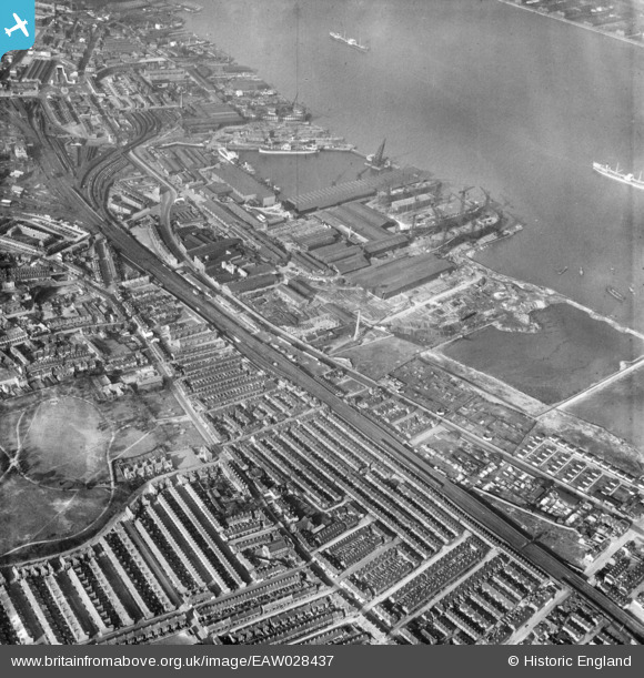
EAW028437 ENGLAND (1950). Cammell Laird's Shipbuilding and Engineering Works, Rock Ferry, 1950
© Copyright OpenStreetMap contributors and licensed by the OpenStreetMap Foundation. 2026. Cartography is licensed as CC BY-SA.
Nearby Images (11)
EAW028437

EAW028442

EAW028440

EPW004028

EAW028435

EAW028441

EAW030636

EAW029260

EAW030645

EAW029262

EAW030643

Details
| Title | [EAW028437] Cammell Laird's Shipbuilding and Engineering Works, Rock Ferry, 1950 |
| Reference | EAW028437 |
| Date | 25-March-1950 |
| Link | |
| Place name | ROCK FERRY |
| Parish | |
| District | |
| Country | ENGLAND |
| Easting / Northing | 332740, 387587 |
| Longitude / Latitude | -3.0112559071798, 53.380581810516 |
| National Grid Reference | SJ327876 |
Pins
Be the first to add a comment to this image!