
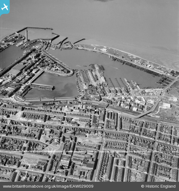
EAW029009 ENGLAND (1950). Grimsby Fish Docks, Grimsby, 1950. This image was marked by Aerofilms Ltd for photo editing.
© Copyright OpenStreetMap contributors and licensed by the OpenStreetMap Foundation. 2026. Cartography is licensed as CC BY-SA.
Nearby Images (5)
EAW029009

EAW029005

EAW029006

EPW053394

EAW040600

Details
| Title | [EAW029009] Grimsby Fish Docks, Grimsby, 1950. This image was marked by Aerofilms Ltd for photo editing. |
| Reference | EAW029009 |
| Date | 10-May-1950 |
| Link | |
| Place name | GRIMSBY |
| Parish | |
| District | |
| Country | ENGLAND |
| Easting / Northing | 528188, 410665 |
| Longitude / Latitude | -0.063704736669684, 53.576653736954 |
| National Grid Reference | TA282107 |
Pins

redmist |
Wednesday 31st of October 2018 01:39:39 PM | |

Class31 |
Tuesday 24th of May 2016 10:18:06 PM | |
|
Beowolf |
Tuesday 29th of April 2014 10:42:35 AM | |
|
Class31 |
Monday 3rd of March 2014 07:33:59 PM | |
|
Class31 |
Monday 3rd of March 2014 07:08:54 PM |
