
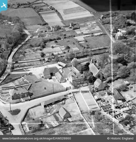
EAW028860 ENGLAND (1950). The village, Denton, 1950. This image was marked by Aerofilms Ltd for photo editing.
© Copyright OpenStreetMap contributors and licensed by the OpenStreetMap Foundation. 2026. Cartography is licensed as CC BY-SA.
Nearby Images (7)
EAW028860

EAW028859

EAW028855

EAW028856

EAW028861

EAW028857

EAW028858

Details
| Title | [EAW028860] The village, Denton, 1950. This image was marked by Aerofilms Ltd for photo editing. |
| Reference | EAW028860 |
| Date | 1-May-1950 |
| Link | |
| Place name | DENTON |
| Parish | NEWHAVEN |
| District | |
| Country | ENGLAND |
| Easting / Northing | 545431, 102548 |
| Longitude / Latitude | 0.064152858942656, 50.803649689021 |
| National Grid Reference | TQ454025 |
Pins

bescotbeast |
Sunday 28th of September 2014 03:15:03 AM | |
|
bescotbeast |
Sunday 28th of September 2014 03:14:32 AM |