
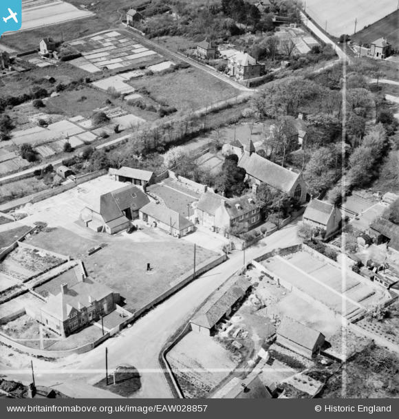
EAW028857 ENGLAND (1950). The village, Denton, 1950. This image was marked by Aerofilms Ltd for photo editing.
© Copyright OpenStreetMap contributors and licensed by the OpenStreetMap Foundation. 2026. Cartography is licensed as CC BY-SA.
Nearby Images (7)
EAW028857

EAW028858

EAW028861

EAW028856

EAW028860

EAW028859

EAW028855

Details
| Title | [EAW028857] The village, Denton, 1950. This image was marked by Aerofilms Ltd for photo editing. |
| Reference | EAW028857 |
| Date | 1-May-1950 |
| Link | |
| Place name | DENTON |
| Parish | NEWHAVEN |
| District | |
| Country | ENGLAND |
| Easting / Northing | 545459, 102554 |
| Longitude / Latitude | 0.064552374757904, 50.803696585504 |
| National Grid Reference | TQ455026 |
Pins
Be the first to add a comment to this image!