
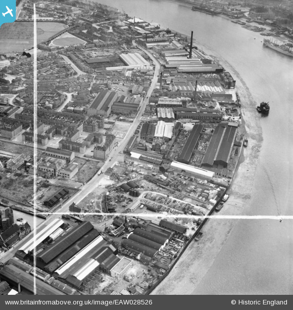
EAW028526 ENGLAND (1950). The Napier Yard and environs, Millwall, 1950. This image was marked by Aerofilms Ltd for photo editing.
© Copyright OpenStreetMap contributors and licensed by the OpenStreetMap Foundation. 2026. Cartography is licensed as CC BY-SA.
Nearby Images (11)
EAW028526

EAW028528

EAW028521

EAW028529

EAW028523

EAW028525

EAW028524

EAW021719

EAW028522

EAW028527

EPW025712

Details
| Title | [EAW028526] The Napier Yard and environs, Millwall, 1950. This image was marked by Aerofilms Ltd for photo editing. |
| Reference | EAW028526 |
| Date | 5-April-1950 |
| Link | |
| Place name | MILLWALL |
| Parish | |
| District | |
| Country | ENGLAND |
| Easting / Northing | 537475, 178535 |
| Longitude / Latitude | -0.019673852083353, 51.488544806659 |
| National Grid Reference | TQ375785 |
Pins
Be the first to add a comment to this image!