
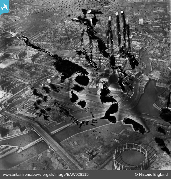
EAW028115 ENGLAND (1950). The Kemball, Bishop and Co Crown Chemical Works and the surrounding area, Bromley, 1950. This image has been produced from a damaged negative.
© Copyright OpenStreetMap contributors and licensed by the OpenStreetMap Foundation. 2026. Cartography is licensed as CC BY-SA.
Nearby Images (26)
EAW028115

EAW028117
 and the surrounding area, Bromley, 1950. This image has been produced from a damaged negative.")
EPW045657

EPW045655

EAW028116

EPW034628

EPW045658

EPW045656

EPW034627

EPW034629

EAW028112
, Bromley, 1950. This image has been produced from a damaged negative.")
EPW034634

EPW034631

EPW051051

EPW034625

EPW034626

EPW034633

EPW034630

EPW034632

EPW051050

EAW028111

EAW028114

EAW028113

EAW028110

EPW045659

EPW009706

Details
| Title | [EAW028115] The Kemball, Bishop and Co Crown Chemical Works and the surrounding area, Bromley, 1950. This image has been produced from a damaged negative. |
| Reference | EAW028115 |
| Date | 13-March-1950 |
| Link | |
| Place name | BROMLEY |
| Parish | |
| District | |
| Country | ENGLAND |
| Easting / Northing | 538190, 182636 |
| Longitude / Latitude | -0.0077736551371503, 51.525226432005 |
| National Grid Reference | TQ382826 |
Pins

Matt Aldred edob.mattaldred.com |
Saturday 15th of May 2021 06:20:42 PM |