
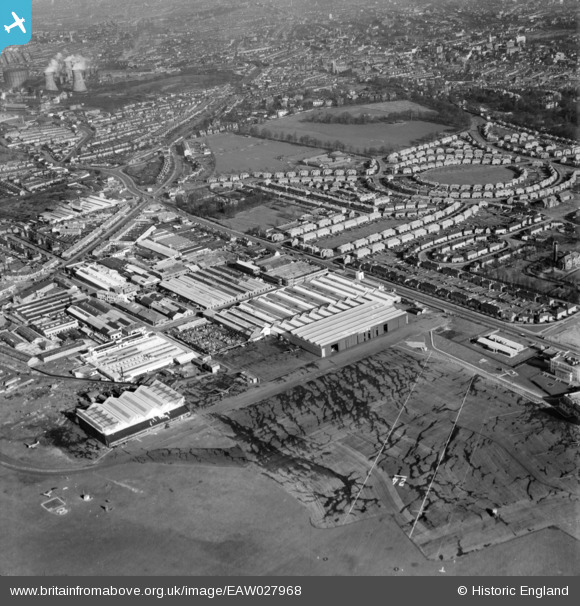
EAW027968 ENGLAND (1950). Factories at Croydon Airport and environs, Croydon, 1950
© Copyright OpenStreetMap contributors and licensed by the OpenStreetMap Foundation. 2026. Cartography is licensed as CC BY-SA.
Nearby Images (20)
EAW027968

EAW027965

EAW027963

EAW027964

EAW027969

EAW027970

EAW027966

EAW027971

EAW027967

EAW027961

EAW026141
, Croydon, 1949. This image was marked by Aerofilms Ltd for photo editing.")
EAW026139
 and Croydon Airport, Croydon, 1949. This image has been produced from a print.")
EAW026140
, Croydon, 1949. This image was marked by Aerofilms Ltd for photo editing.")
EAW026143
, Croydon, 1949")
EAW026146
, Croydon, 1949")
EAW052835
 at Croydon Airport, Croydon, 1953. This image was marked by Aerofilms Ltd for photo editing.")
EAW026142
, Croydon, 1949. This image was marked by Aerofilms Ltd for photo editing.")
EAW026145
, Croydon, 1949")
EAW052834
 at Croydon Airport, Croydon, 1953. This image was marked by Aerofilms Ltd for photo editing.")
EPW018114

Details
| Title | [EAW027968] Factories at Croydon Airport and environs, Croydon, 1950 |
| Reference | EAW027968 |
| Date | 14-February-1950 |
| Link | |
| Place name | CROYDON |
| Parish | |
| District | |
| Country | ENGLAND |
| Easting / Northing | 531084, 164020 |
| Longitude / Latitude | -0.11705204610686, 51.359605581568 |
| National Grid Reference | TQ311640 |
Pins

msmith0102 |
Monday 6th of August 2018 10:18:56 PM |