
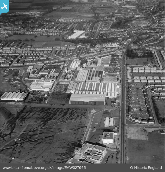
EAW027965 ENGLAND (1950). Purley Way and factories at Croydon Airport, Croydon, 1950
© Copyright OpenStreetMap contributors and licensed by the OpenStreetMap Foundation. 2026. Cartography is licensed as CC BY-SA.
Nearby Images (22)
EAW027965

EAW027968

EAW027969

EAW027966

EAW027970

EAW026141
, Croydon, 1949. This image was marked by Aerofilms Ltd for photo editing.")
EAW027963

EAW026139
 and Croydon Airport, Croydon, 1949. This image has been produced from a print.")
EAW026140
, Croydon, 1949. This image was marked by Aerofilms Ltd for photo editing.")
EAW026143
, Croydon, 1949")
EAW027967

EAW027964

EAW026146
, Croydon, 1949")
EAW026145
, Croydon, 1949")
EAW027971

EAW026142
, Croydon, 1949. This image was marked by Aerofilms Ltd for photo editing.")
EAW026144
, Croydon, 1949. This image was marked by Aerofilms Ltd for photo editing.")
EAW027961

EAW052835
 at Croydon Airport, Croydon, 1953. This image was marked by Aerofilms Ltd for photo editing.")
EPW052808

EPW018114

EAW052834
 at Croydon Airport, Croydon, 1953. This image was marked by Aerofilms Ltd for photo editing.")
Details
| Title | [EAW027965] Purley Way and factories at Croydon Airport, Croydon, 1950 |
| Reference | EAW027965 |
| Date | 14-February-1950 |
| Link | |
| Place name | CROYDON |
| Parish | |
| District | |
| Country | ENGLAND |
| Easting / Northing | 531017, 164021 |
| Longitude / Latitude | -0.11801353723428, 51.359630028694 |
| National Grid Reference | TQ310640 |
Pins

Breweryman |
Sunday 27th of February 2022 08:23:46 PM | |
|
PVD-88 |
Friday 15th of October 2021 05:46:45 PM | |
|
brianbeckett |
Saturday 6th of September 2014 10:23:03 PM |