
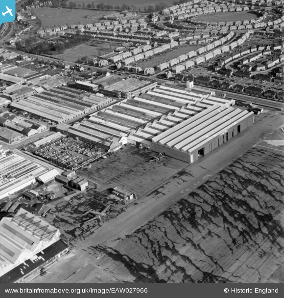
EAW027966 ENGLAND (1950). Factories at Croydon Airport, Croydon, 1950
© Copyright OpenStreetMap contributors and licensed by the OpenStreetMap Foundation. 2026. Cartography is licensed as CC BY-SA.
Nearby Images (24)
EAW027966

EAW027969

EAW027970

EAW027967

EAW027963

EAW027971

EAW026141
, Croydon, 1949. This image was marked by Aerofilms Ltd for photo editing.")
EAW027965

EAW026139
 and Croydon Airport, Croydon, 1949. This image has been produced from a print.")
EAW027968

EAW026140
, Croydon, 1949. This image was marked by Aerofilms Ltd for photo editing.")
EAW026142
, Croydon, 1949. This image was marked by Aerofilms Ltd for photo editing.")
EAW027964

EAW027961

EAW026143
, Croydon, 1949")
EAW026146
, Croydon, 1949")
EAW052835
 at Croydon Airport, Croydon, 1953. This image was marked by Aerofilms Ltd for photo editing.")
EPW018114

EAW052834
 at Croydon Airport, Croydon, 1953. This image was marked by Aerofilms Ltd for photo editing.")
EAW026144
, Croydon, 1949. This image was marked by Aerofilms Ltd for photo editing.")
EAW026145
, Croydon, 1949")
EAW052832
 at Croydon Airport, Croydon, 1953. This image was marked by Aerofilms Ltd for photo editing.")
EAW052833
 alongside Aerodrome Hotel at Croydon Airport, Croydon, 1953. This image was marked by Aerofilms Ltd for photo editing.")
EPW052808

Details
| Title | [EAW027966] Factories at Croydon Airport, Croydon, 1950 |
| Reference | EAW027966 |
| Date | 14-February-1950 |
| Link | |
| Place name | CROYDON |
| Parish | |
| District | |
| Country | ENGLAND |
| Easting / Northing | 531016, 163914 |
| Longitude / Latitude | -0.11806731657635, 51.358668557487 |
| National Grid Reference | TQ310639 |
Pins

Billy Turner |
Monday 16th of November 2020 09:12:07 PM | |
|
Billy Turner |
Monday 16th of November 2020 09:06:48 PM | |
|
Billy Turner |
Monday 16th of November 2020 09:06:31 PM |