
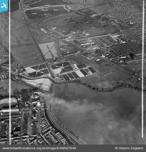
EAW027648 ENGLAND (1949). Lea Bridge Pumping Station, the Porters Field Estate and environs, Lea Bridge, 1949. This image was marked by Aerofilms Ltd for photo editing.
© Copyright OpenStreetMap contributors and licensed by the OpenStreetMap Foundation. 2026. Cartography is licensed as CC BY-SA.
Nearby Images (17)
EAW027648

EAW027650

EAW027644

EAW027647

EAW027645

EAW027646

EAW027649

EAW043554

EAW027643

EAW027642

EPW051980

EPW051549
, Lea Bridge, 1936")
EPW051547
, Lea Bridge, 1936")
EPW051545
, Lea Bridge, 1936")
EAW027651

EPW051546
, Lea Bridge, 1936")
EAW027652

Details
| Title | [EAW027648] Lea Bridge Pumping Station, the Porters Field Estate and environs, Lea Bridge, 1949. This image was marked by Aerofilms Ltd for photo editing. |
| Reference | EAW027648 |
| Date | 14-November-1949 |
| Link | |
| Place name | LEA BRIDGE |
| Parish | |
| District | |
| Country | ENGLAND |
| Easting / Northing | 536165, 186711 |
| Longitude / Latitude | -0.03537155299863, 51.56234105001 |
| National Grid Reference | TQ362867 |
Pins

Dank |
Thursday 17th of September 2015 12:15:01 PM |