
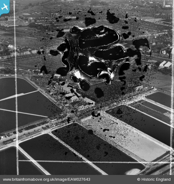
EAW027643 ENGLAND (1949). Lea Bridge Pumping Station, Lea Bridge, 1949. This image has been produced from a damaged negative.
© Copyright OpenStreetMap contributors and licensed by the OpenStreetMap Foundation. 2026. Cartography is licensed as CC BY-SA.
Nearby Images (17)
EAW027643

EAW027646

EAW027647

EAW027644

EAW027642

EAW027645

EAW027650

EAW027648

EAW043554

EAW027652

EAW027649

EPW051980

EPW051547
, Lea Bridge, 1936")
EAW027651

EPW051549
, Lea Bridge, 1936")
EPW051545
, Lea Bridge, 1936")
EPW051546
, Lea Bridge, 1936")
Details
| Title | [EAW027643] Lea Bridge Pumping Station, Lea Bridge, 1949. This image has been produced from a damaged negative. |
| Reference | EAW027643 |
| Date | 14-November-1949 |
| Link | |
| Place name | LEA BRIDGE |
| Parish | |
| District | |
| Country | ENGLAND |
| Easting / Northing | 536185, 186818 |
| Longitude / Latitude | -0.035041707991492, 51.563297841787 |
| National Grid Reference | TQ362868 |
Pins
Be the first to add a comment to this image!