
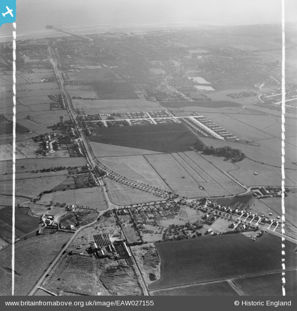
EAW027155 ENGLAND (1949). Burgh Road and the town, Skegness, 1949. This image was marked by Aerofilms Ltd for photo editing.
© Copyright OpenStreetMap contributors and licensed by the OpenStreetMap Foundation. 2026. Cartography is licensed as CC BY-SA.
Nearby Images (5)
EAW027155

EAW027153

EAW027151

EAW027160

EAW027152

Details
| Title | [EAW027155] Burgh Road and the town, Skegness, 1949. This image was marked by Aerofilms Ltd for photo editing. |
| Reference | EAW027155 |
| Date | 12-October-1949 |
| Link | |
| Place name | SKEGNESS |
| Parish | SKEGNESS |
| District | |
| Country | ENGLAND |
| Easting / Northing | 555453, 364313 |
| Longitude / Latitude | 0.32500359743338, 53.152940142879 |
| National Grid Reference | TF555643 |
Pins

redmist |
Tuesday 5th of October 2021 09:05:22 PM |