
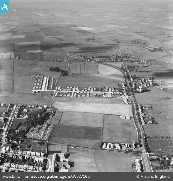
EAW027160 ENGLAND (1949). Burgh Road, Lyndhurst Avenue and the surrounding area, Skegness, 1949
© Copyright OpenStreetMap contributors and licensed by the OpenStreetMap Foundation. 2026. Cartography is licensed as CC BY-SA.
Nearby Images (4)
EAW027160

EAW027155

EAW027162

EAW027153

Details
| Title | [EAW027160] Burgh Road, Lyndhurst Avenue and the surrounding area, Skegness, 1949 |
| Reference | EAW027160 |
| Date | 12-October-1949 |
| Link | |
| Place name | SKEGNESS |
| Parish | SKEGNESS |
| District | |
| Country | ENGLAND |
| Easting / Northing | 555608, 364202 |
| Longitude / Latitude | 0.32726579162046, 53.151897818783 |
| National Grid Reference | TF556642 |
Pins
Be the first to add a comment to this image!