
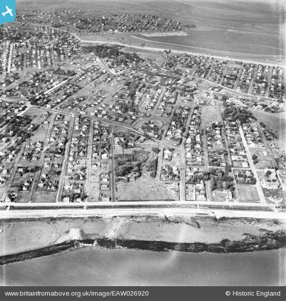
EAW026920 ENGLAND (1949). The residential area surrounding Leigh Beck, Canvey Island, 1949
© Copyright OpenStreetMap contributors and licensed by the OpenStreetMap Foundation. 2025. Cartography is licensed as CC BY-SA.
Nearby Images (3)
EAW026920

EAW048234

EAW048233

Details
| Title | [EAW026920] The residential area surrounding Leigh Beck, Canvey Island, 1949 |
| Reference | EAW026920 |
| Date | 2-October-1949 |
| Link | |
| Place name | CANVEY ISLAND |
| Parish | CANVEY ISLAND |
| District | |
| Country | ENGLAND |
| Easting / Northing | 581020, 182904 |
| Longitude / Latitude | 0.60921854984457, 51.515530602877 |
| National Grid Reference | TQ810829 |
Pins

redmist |
Sunday 29th of January 2023 10:23:05 AM |