
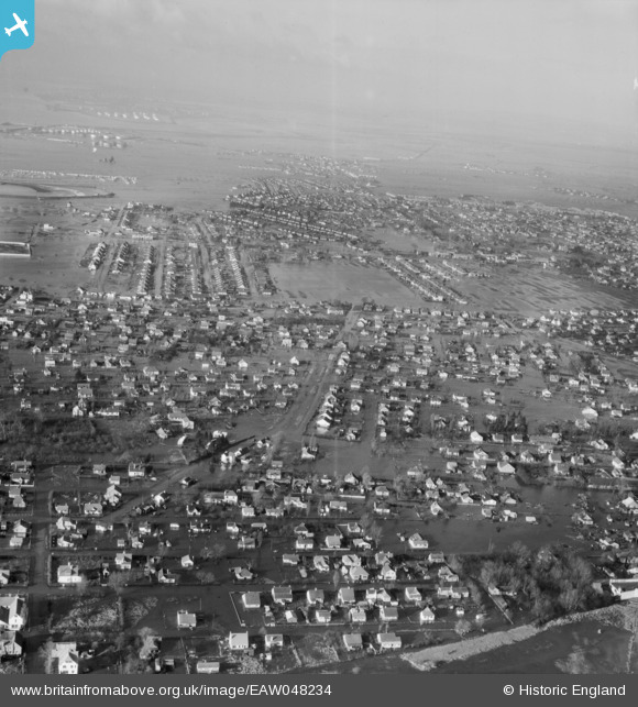
EAW048234 ENGLAND (1953). Flooded streets, Canvey Island, from the east, 1953
© Copyright OpenStreetMap contributors and licensed by the OpenStreetMap Foundation. 2025. Cartography is licensed as CC BY-SA.
Nearby Images (2)
EAW048234

EAW026920

Details
| Title | [EAW048234] Flooded streets, Canvey Island, from the east, 1953 |
| Reference | EAW048234 |
| Date | 2-February-1953 |
| Link | |
| Place name | CANVEY ISLAND |
| Parish | CANVEY ISLAND |
| District | |
| Country | ENGLAND |
| Easting / Northing | 581059, 183005 |
| Longitude / Latitude | 0.60983195406119, 51.516425401866 |
| National Grid Reference | TQ811830 |
Pins
Be the first to add a comment to this image!