
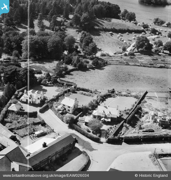
EAW026034 ENGLAND (1949). "Birklands", "Slurring Crags" and "Longlands", Bowness-on-Windermere, 1949. This image was marked by Aerofilms Ltd for photo editing.
© Copyright OpenStreetMap contributors and licensed by the OpenStreetMap Foundation. 2026. Cartography is licensed as CC BY-SA.
Nearby Images (8)
EAW026034

EAW025635

EAW025633

EAW026033

EAW025634

EPW004040

EPW026739

EPW026741

Details
| Title | [EAW026034] "Birklands", "Slurring Crags" and "Longlands", Bowness-on-Windermere, 1949. This image was marked by Aerofilms Ltd for photo editing. |
| Reference | EAW026034 |
| Date | 14-August-1949 |
| Link | |
| Place name | BOWNESS-ON-WINDERMERE |
| Parish | WINDERMERE |
| District | |
| Country | ENGLAND |
| Easting / Northing | 340399, 497229 |
| Longitude / Latitude | -2.9174386229042, 54.366938983693 |
| National Grid Reference | SD404972 |
Pins
Be the first to add a comment to this image!