
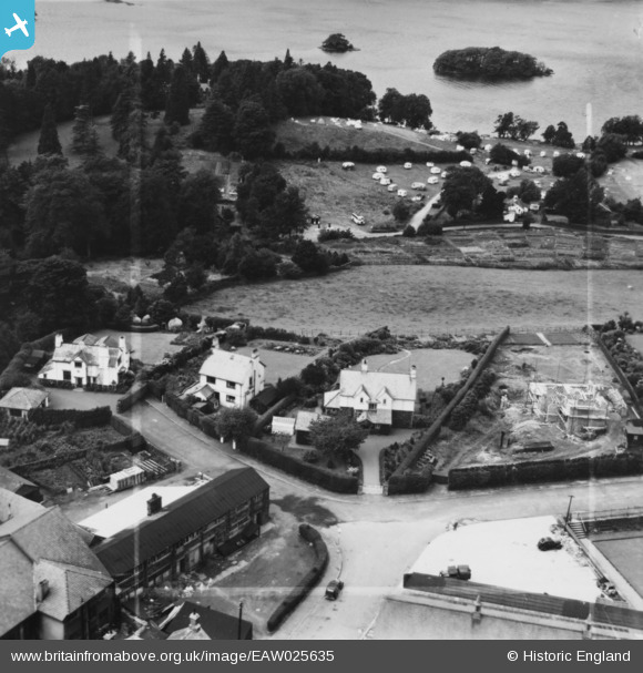
EAW025635 ENGLAND (1949). Birklands, Slurring Crags and Craigendoran, Bowness-On-Windermere, 1949. This image has been produced from a print marked by Aerofilms Ltd for photo editing.
© Copyright OpenStreetMap contributors and licensed by the OpenStreetMap Foundation. 2026. Cartography is licensed as CC BY-SA.
Nearby Images (8)
EAW025635

EAW026034

EAW025633

EAW026033

EAW025634

EPW004040

EPW026739

EPW026741

Details
| Title | [EAW025635] Birklands, Slurring Crags and Craigendoran, Bowness-On-Windermere, 1949. This image has been produced from a print marked by Aerofilms Ltd for photo editing. |
| Reference | EAW025635 |
| Date | 3-August-1949 |
| Link | |
| Place name | BOWNESS-ON-WINDERMERE |
| Parish | WINDERMERE |
| District | |
| Country | ENGLAND |
| Easting / Northing | 340400, 497236 |
| Longitude / Latitude | -2.9174246342821, 54.367002009714 |
| National Grid Reference | SD404972 |
Pins
Be the first to add a comment to this image!