
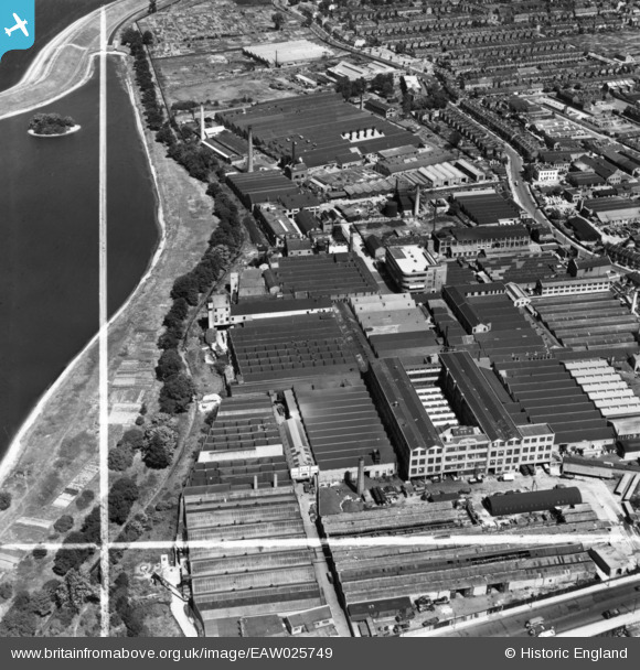
EAW025749 ENGLAND (1949). Works off Blackhorse Lane, Walthamstow, 1949. This image has been produced from a print marked by Aerofilms Ltd for photo editing.
© Copyright OpenStreetMap contributors and licensed by the OpenStreetMap Foundation. 2026. Cartography is licensed as CC BY-SA.
Nearby Images (32)
EAW025749

EPW037926

EAW025751

EAW025753

EPW037925

EAW025752

EPW037542

EPW037918

EPW037547

EAW025747

EPW037927

EPW037923

EPW037546

EPW037545

EPW037540

EPW037920

EPW037921

EPW037924

EPW037922

EPW037543

EAW025746

EAW025748

EPW037541

EAW025750

EPW037919

EPW037544

EPW017339

EPW017341

EPW017337

EPW017340

EPW017338

EPW017344

Details
| Title | [EAW025749] Works off Blackhorse Lane, Walthamstow, 1949. This image has been produced from a print marked by Aerofilms Ltd for photo editing. |
| Reference | EAW025749 |
| Date | 8-August-1949 |
| Link | |
| Place name | WALTHAMSTOW |
| Parish | |
| District | |
| Country | ENGLAND |
| Easting / Northing | 535683, 189647 |
| Longitude / Latitude | -0.041187285128592, 51.588843459837 |
| National Grid Reference | TQ357896 |
Pins

Sparky |
Sunday 10th of September 2017 08:24:44 AM |