
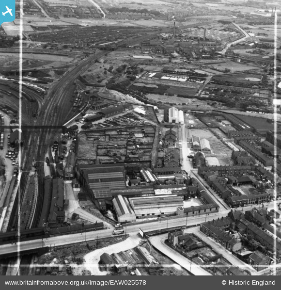
EAW025578 ENGLAND (1949). The Guide Bridge Works and environs, Audenshaw, 1949. This image has been produced from a print marked by Aerofilms Ltd for photo editing.
© Copyright OpenStreetMap contributors and licensed by the OpenStreetMap Foundation. 2026. Cartography is licensed as CC BY-SA.
Nearby Images (8)
EAW025578

EAW025579

EAW025576

EAW025577

EAW025575

EAW025574

EAW025573

EAW025572

Details
| Title | [EAW025578] The Guide Bridge Works and environs, Audenshaw, 1949. This image has been produced from a print marked by Aerofilms Ltd for photo editing. |
| Reference | EAW025578 |
| Date | 1-August-1949 |
| Link | |
| Place name | AUDENSHAW |
| Parish | |
| District | |
| Country | ENGLAND |
| Easting / Northing | 392752, 397429 |
| Longitude / Latitude | -2.1092096139273, 53.473290110318 |
| National Grid Reference | SJ928974 |
Pins

Barney Rubble |
Sunday 25th of February 2024 03:15:18 PM | |
|
John Wass |
Friday 15th of May 2015 08:53:15 PM | |
|
John Wass |
Friday 15th of May 2015 08:52:11 PM | |
|
John Wass |
Tuesday 9th of December 2014 07:46:38 PM |