
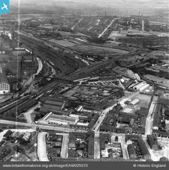
EAW025573 ENGLAND (1949). The Guide Bridge Works and environs, Audenshaw, from the south-west, 1949. This image has been produced from a print marked by Aerofilms Ltd for photo editing.
© Copyright OpenStreetMap contributors and licensed by the OpenStreetMap Foundation. 2026. Cartography is licensed as CC BY-SA.
Nearby Images (8)
EAW025573

EAW025572

EAW025574

EAW025577

EAW025576

EAW025575

EAW025578

EAW025579

Details
| Title | [EAW025573] The Guide Bridge Works and environs, Audenshaw, from the south-west, 1949. This image has been produced from a print marked by Aerofilms Ltd for photo editing. |
| Reference | EAW025573 |
| Date | 1-August-1949 |
| Link | |
| Place name | AUDENSHAW |
| Parish | |
| District | |
| Country | ENGLAND |
| Easting / Northing | 392597, 397403 |
| Longitude / Latitude | -2.1115444667451, 53.473054226692 |
| National Grid Reference | SJ926974 |
Pins

redmist |
Monday 31st of December 2018 10:38:45 AM |