
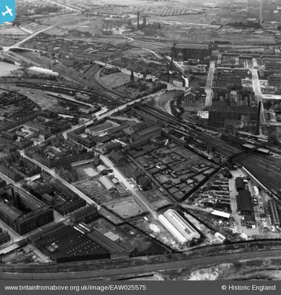
EAW025575 ENGLAND (1949). The Guide Bridge Works, Audenshaw, 1949. This image has been produced from a print.
© Copyright OpenStreetMap contributors and licensed by the OpenStreetMap Foundation. 2026. Cartography is licensed as CC BY-SA.
Nearby Images (8)
EAW025575

EAW025577

EAW025576

EAW025573

EAW025574

EAW025572

EAW025578

EAW025579

Details
| Title | [EAW025575] The Guide Bridge Works, Audenshaw, 1949. This image has been produced from a print. |
| Reference | EAW025575 |
| Date | 1-August-1949 |
| Link | |
| Place name | AUDENSHAW |
| Parish | |
| District | |
| Country | ENGLAND |
| Easting / Northing | 392648, 397459 |
| Longitude / Latitude | -2.1107773383985, 53.473558352615 |
| National Grid Reference | SJ926975 |
Pins

Barney Rubble |
Friday 8th of April 2016 04:29:29 PM | |

PJBRAILWAYPHOTOS |
Sunday 30th of August 2015 05:05:12 PM | |
|
John Wass |
Friday 15th of May 2015 08:56:12 PM | |
|
Barney Rubble |
Thursday 11th of December 2014 09:26:09 AM | |
Not Crowthorn, that's a bit further on , this was Audenshaw Junction to Canal Junction,just visible on here |
billh |
Monday 29th of February 2016 08:29:11 PM |
|
Barney Rubble |
Thursday 11th of December 2014 09:23:55 AM | |
|
Barney Rubble |
Thursday 11th of December 2014 09:23:09 AM | |
|
John T. Pitman |
Wednesday 15th of October 2014 12:38:53 AM |