
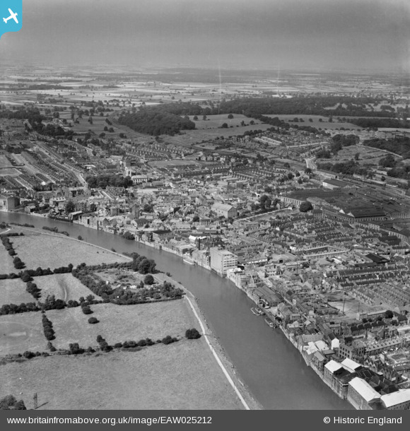
EAW025212 ENGLAND (1949). Dog Island moat and the town, Gainsborough, from the south, 1949
© Copyright OpenStreetMap contributors and licensed by the OpenStreetMap Foundation. 2026. Cartography is licensed as CC BY-SA.
Nearby Images (7)
EAW025212

EPW016162

EPW062210

EPW062207

EPW016157

EAW025210

EPW016160

Details
| Title | [EAW025212] Dog Island moat and the town, Gainsborough, from the south, 1949 |
| Reference | EAW025212 |
| Date | 26-July-1949 |
| Link | |
| Place name | GAINSBOROUGH |
| Parish | GAINSBOROUGH |
| District | |
| Country | ENGLAND |
| Easting / Northing | 481429, 389483 |
| Longitude / Latitude | -0.77527244860411, 53.395628016521 |
| National Grid Reference | SK814895 |
