
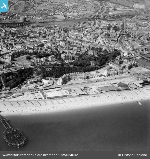
EAW024832 ENGLAND (1949). Marine Gardens and Marine Parade, Folkestone, 1949
© Copyright OpenStreetMap contributors and licensed by the OpenStreetMap Foundation. 2026. Cartography is licensed as CC BY-SA.
Nearby Images (18)
EAW024832

EPW000083

EPW000587

EAW002851

EPW042870

EPW035417

EPW019064

EAW002852

EPW009200

EPW000080

EAW002372

EPW009202

EPW009196

EPW009195

EAW024825

EPW000362

EPW042868

EAW002373

Details
| Title | [EAW024832] Marine Gardens and Marine Parade, Folkestone, 1949 |
| Reference | EAW024832 |
| Date | 12-July-1949 |
| Link | |
| Place name | FOLKESTONE |
| Parish | FOLKESTONE |
| District | |
| Country | ENGLAND |
| Easting / Northing | 622958, 135732 |
| Longitude / Latitude | 1.1833352740243, 51.076991440001 |
| National Grid Reference | TR230357 |
Pins

John W |
Wednesday 12th of October 2016 10:29:17 AM | |
|
Mike Floate |
Saturday 4th of January 2014 08:03:03 PM | |
|
ChrisH |
Sunday 22nd of December 2013 01:22:19 AM |
