
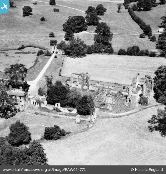
EAW024771 ENGLAND (1949). The ruins of Bayham Abbey, Bayham Abbey, 1949
© Copyright OpenStreetMap contributors and licensed by the OpenStreetMap Foundation. 2026. Cartography is licensed as CC BY-SA.
Nearby Images (7)
EAW024771

EAW024769

EAW048714

EAW048712

EAW048715

EAW048713

EAW043923

Details
| Title | [EAW024771] The ruins of Bayham Abbey, Bayham Abbey, 1949 |
| Reference | EAW024771 |
| Date | 12-July-1949 |
| Link | |
| Place name | BAYHAM ABBEY |
| Parish | FRANT |
| District | |
| Country | ENGLAND |
| Easting / Northing | 564990, 136501 |
| Longitude / Latitude | 0.3569161976176, 51.10350433056 |
| National Grid Reference | TQ650365 |
Pins
Be the first to add a comment to this image!