
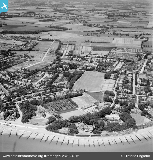
EAW024315 ENGLAND (1949). Cobbolds Point and environs, Felixstowe, 1949
© Copyright OpenStreetMap contributors and licensed by the OpenStreetMap Foundation. 2026. Cartography is licensed as CC BY-SA.
Nearby Images (8)
EAW024315

EAW024311

EAW024312

EAW024313

EAW024317

EAW024318

EAW024314

EAW024316

Details
| Title | [EAW024315] Cobbolds Point and environs, Felixstowe, 1949 |
| Reference | EAW024315 |
| Date | 4-July-1949 |
| Link | |
| Place name | FELIXSTOWE |
| Parish | FELIXSTOWE |
| District | |
| Country | ENGLAND |
| Easting / Northing | 631275, 235224 |
| Longitude / Latitude | 1.3671778426029, 51.966863410445 |
| National Grid Reference | TM313352 |
Pins

Matt Aldred edob.mattaldred.com |
Friday 1st of March 2019 03:38:23 PM |