
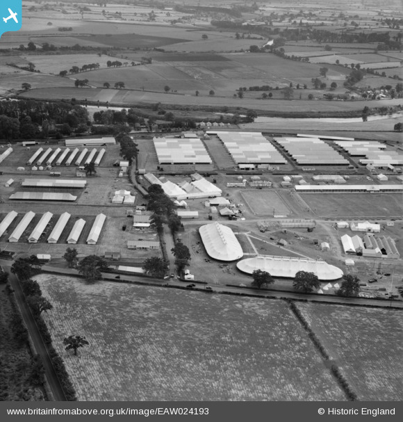
EAW024193 ENGLAND (1949). The Royal Agricultural Society of England Royal Show, Shrewsbury, 1949
© Copyright OpenStreetMap contributors and licensed by the OpenStreetMap Foundation. 2026. Cartography is licensed as CC BY-SA.
Nearby Images (6)
EAW024193

EAW024189

EAW024187

EAW024192

EAW024190

EAW024194

Details
| Title | [EAW024193] The Royal Agricultural Society of England Royal Show, Shrewsbury, 1949 |
| Reference | EAW024193 |
| Date | 27-June-1949 |
| Link | |
| Place name | SHREWSBURY |
| Parish | SHREWSBURY |
| District | |
| Country | ENGLAND |
| Easting / Northing | 352002, 314553 |
| Longitude / Latitude | -2.7107943932185, 52.726149315469 |
| National Grid Reference | SJ520146 |
Pins
Be the first to add a comment to this image!