
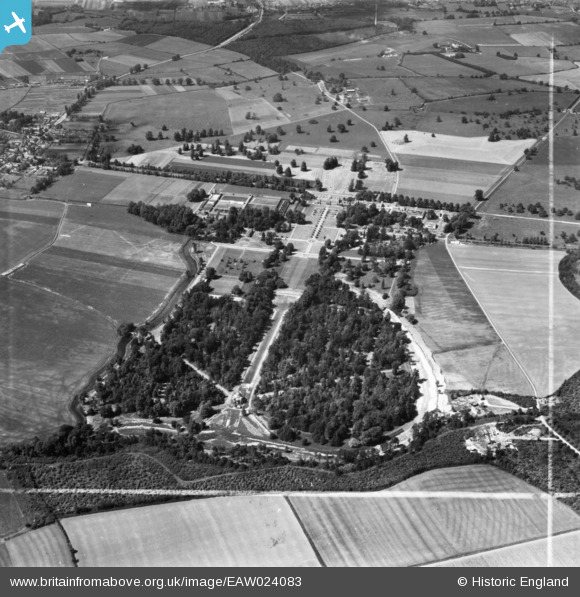
EAW024083 ENGLAND (1949). The National Institute of Agricultural Engineering at Wrest Park, Silsoe, 1949. This image has been produced from a print marked by Aerofilms Ltd for photo editing.
© Copyright OpenStreetMap contributors and licensed by the OpenStreetMap Foundation. 2025. Cartography is licensed as CC BY-SA.
Nearby Images (4)
EAW024083

EAW049229

EAW024082

EAW024081

Details
| Title | [EAW024083] The National Institute of Agricultural Engineering at Wrest Park, Silsoe, 1949. This image has been produced from a print marked by Aerofilms Ltd for photo editing. |
| Reference | EAW024083 |
| Date | 20-June-1949 |
| Link | |
| Place name | SILSOE |
| Parish | SILSOE |
| District | |
| Country | ENGLAND |
| Easting / Northing | 509135, 235139 |
| Longitude / Latitude | -0.4099552903716, 52.003522668013 |
| National Grid Reference | TL091351 |
