
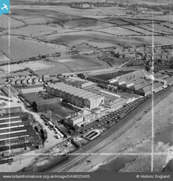
EAW023405 ENGLAND (1949). The Lancaster Straw Mill and the Caton Road Works, Lancaster, 1949. This image was marked by Aerofilms Ltd for photo editing.
© Copyright OpenStreetMap contributors and licensed by the OpenStreetMap Foundation. 2026. Cartography is licensed as CC BY-SA.
Nearby Images (9)
EAW023405

EAW023404

EAW023399

EAW023403

EAW023402

EAW023406

EAW023407

EAW023401

EAW023400

Details
| Title | [EAW023405] The Lancaster Straw Mill and the Caton Road Works, Lancaster, 1949. This image was marked by Aerofilms Ltd for photo editing. |
| Reference | EAW023405 |
| Date | 25-May-1949 |
| Link | |
| Place name | LANCASTER |
| Parish | |
| District | |
| Country | ENGLAND |
| Easting / Northing | 348429, 463196 |
| Longitude / Latitude | -2.7880023480246, 54.061942347326 |
| National Grid Reference | SD484632 |

