
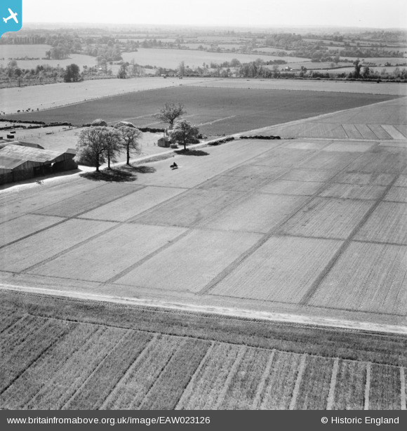
EAW023126 ENGLAND (1949). Fields at Rothamsted Experimental Farm, Rothamsted, from the north-east, 1949
© Copyright OpenStreetMap contributors and licensed by the OpenStreetMap Foundation. 2026. Cartography is licensed as CC BY-SA.
Nearby Images (16)
EAW023126

EAW023123

EAW023125

EAW023130

EAW023133

EAW023129

EAW023134

EAW023121

EAW023124

EAW023132

EAW023128

EAW023131

EAW023127

EAW023122

EAW041170

EAW041169

Details
| Title | [EAW023126] Fields at Rothamsted Experimental Farm, Rothamsted, from the north-east, 1949 |
| Reference | EAW023126 |
| Date | 13-May-1949 |
| Link | |
| Place name | ROTHAMSTED |
| Parish | HARPENDEN RURAL |
| District | |
| Country | ENGLAND |
| Easting / Northing | 512122, 213810 |
| Longitude / Latitude | -0.37339689591793, 51.811217156216 |
| National Grid Reference | TL121138 |
Pins
Be the first to add a comment to this image!