
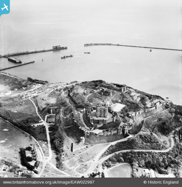
EAW022987 ENGLAND (1949). Dover Castle and the Outer Harbour, Dover, 1949
© Copyright OpenStreetMap contributors and licensed by the OpenStreetMap Foundation. 2026. Cartography is licensed as CC BY-SA.
Nearby Images (13)
EAW022987

EPW017125

EAW022986

EPW017126

EAW007616

EPW000574

EAW006158

EPW000349

EPW000565

EAW007619

EPW000346

EAW006159

EAW007607

Details
| Title | [EAW022987] Dover Castle and the Outer Harbour, Dover, 1949 |
| Reference | EAW022987 |
| Date | 6-May-1949 |
| Link | |
| Place name | DOVER |
| Parish | DOVER |
| District | |
| Country | ENGLAND |
| Easting / Northing | 632724, 141818 |
| Longitude / Latitude | 1.3264490926451, 51.127754236043 |
| National Grid Reference | TR327418 |
Pins
Be the first to add a comment to this image!