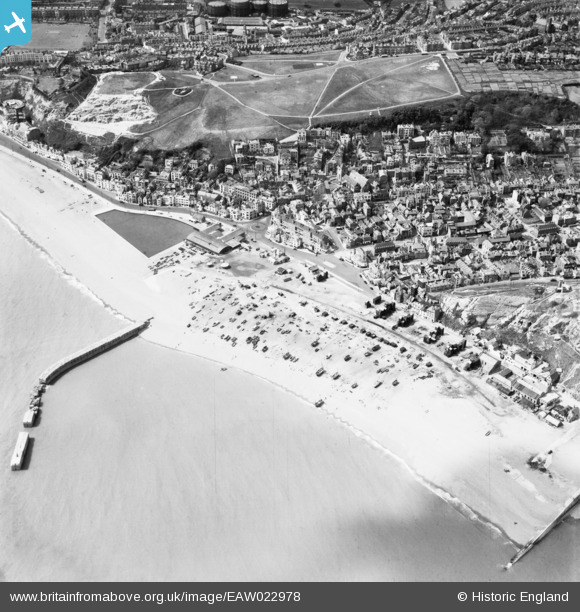
EAW022978 ENGLAND (1949). Old Town and the harbour, Hastings, 1949
© Copyright OpenStreetMap contributors and licensed by the OpenStreetMap Foundation. 2026. Cartography is licensed as CC BY-SA.
Nearby Images (10)
Details
| Title | [EAW022978] Old Town and the harbour, Hastings, 1949 |
| Reference | EAW022978 |
| Date | 6-May-1949 |
| Link | |
| Place name | HASTINGS |
| Parish | |
| District | |
| Country | ENGLAND |
| Easting / Northing | 582563, 109437 |
| Longitude / Latitude | 0.59409327117644, 50.855033409562 |
| National Grid Reference | TQ826094 |
Pins

redmist |
Tuesday 5th of December 2023 07:59:11 PM | |

leigh kennedy |
Saturday 18th of June 2016 09:21:37 PM | |

leigh kennedy |
Saturday 18th of June 2016 09:15:43 PM | |

Alan McFaden |
Friday 19th of September 2014 03:52:17 PM | |

Alan McFaden |
Friday 19th of September 2014 03:50:34 PM | |

Alan McFaden |
Friday 19th of September 2014 03:45:55 PM |
User Comment Contributions
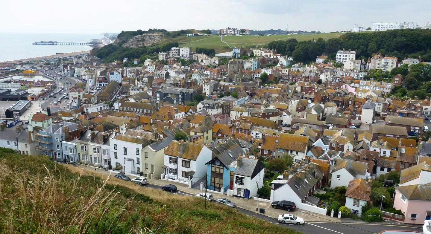
View from East Cliff |

Alan McFaden |
Friday 19th of September 2014 03:53:04 PM |
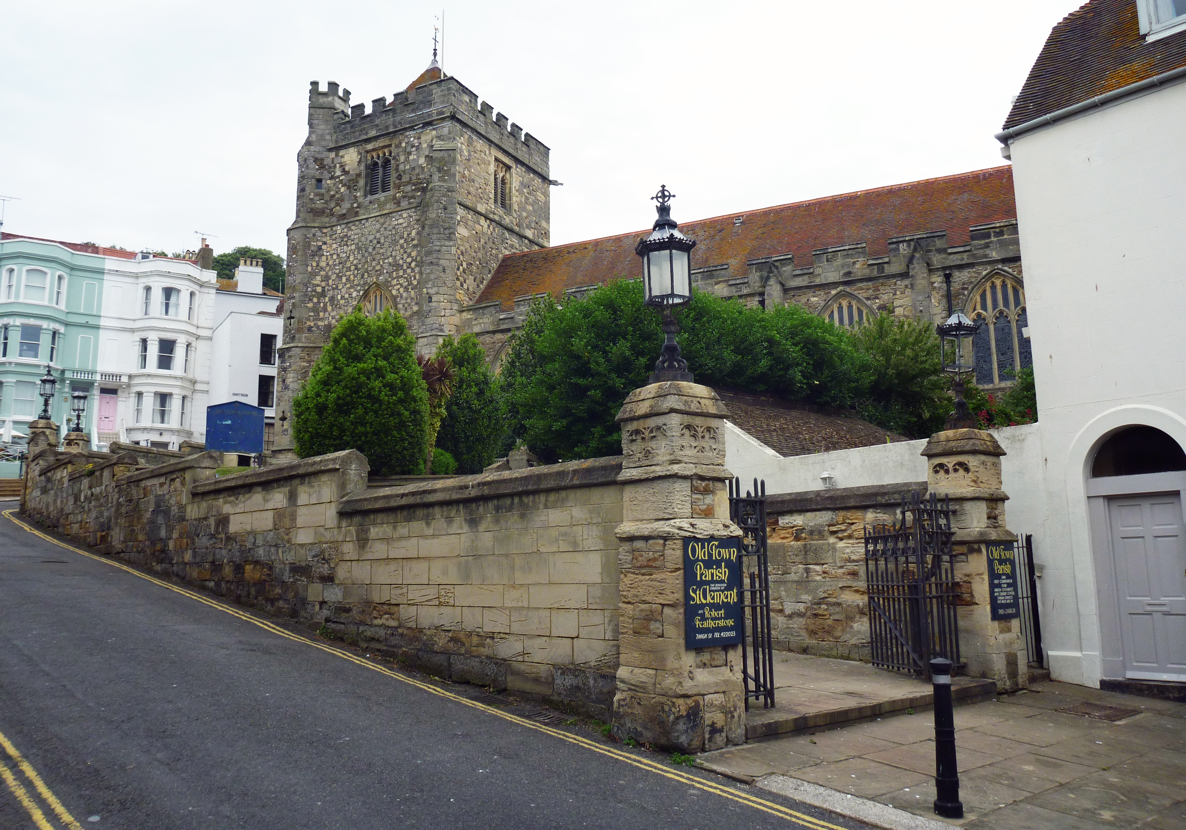
Saint Clement Church |

Alan McFaden |
Friday 19th of September 2014 03:51:07 PM |
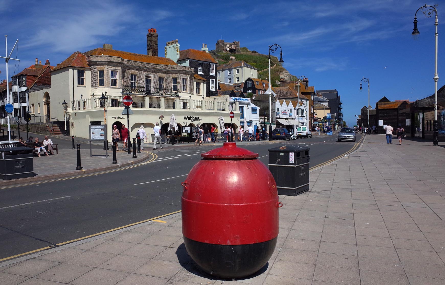
Hastings |

Alan McFaden |
Friday 19th of September 2014 03:48:18 PM |
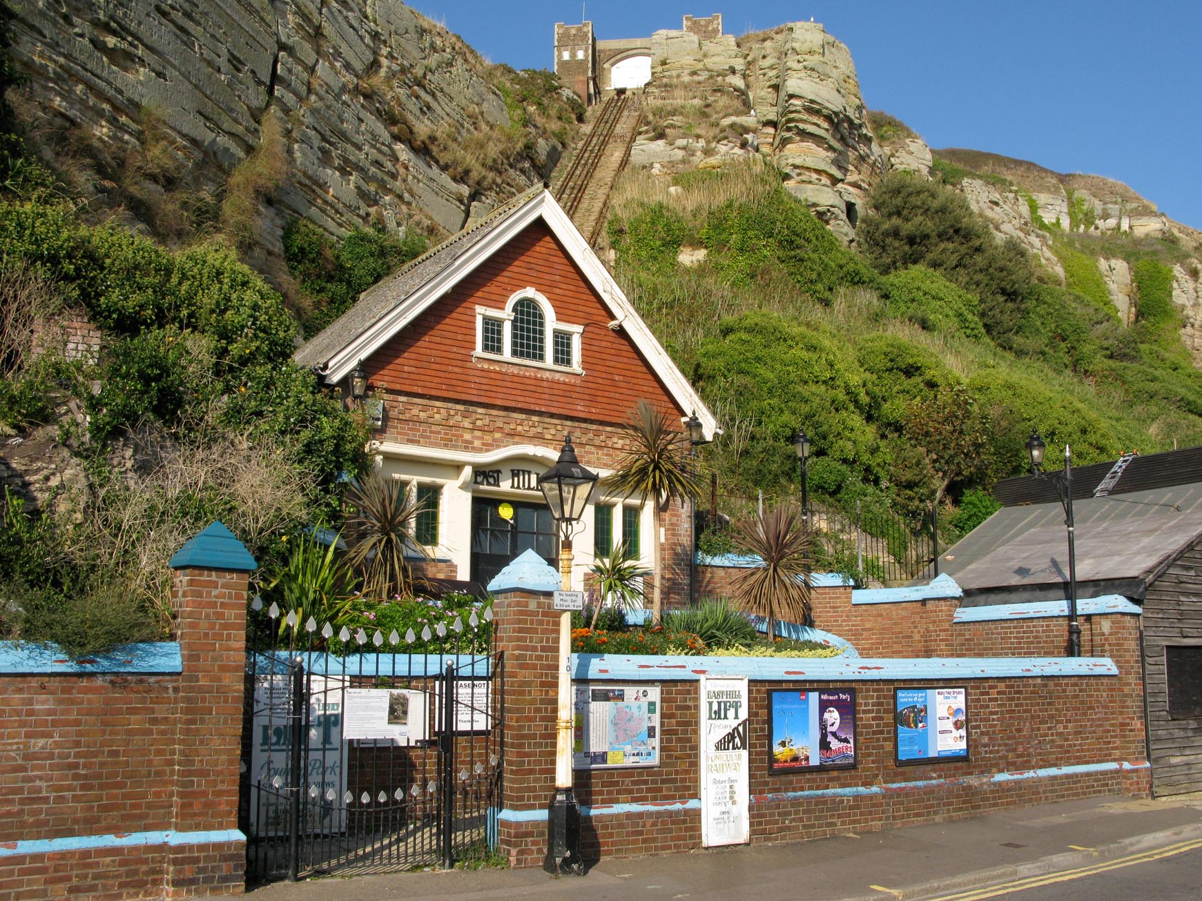
Hastings Cliff Top Railway Station |

Alan McFaden |
Friday 19th of September 2014 03:46:37 PM |

![[EAW022978] Old Town and the harbour, Hastings, 1949](http://britainfromabove.org.uk/sites/all/libraries/aerofilms-images/public/100x100/EAW/022/EAW022978.jpg)
![[EPW026195] St Clements Church, the town and harbour, Hastings, 1929](http://britainfromabove.org.uk/sites/all/libraries/aerofilms-images/public/100x100/EPW/026/EPW026195.jpg)
![[EPW039362] The Stade and the Old Town, Hastings, 1932](http://britainfromabove.org.uk/sites/all/libraries/aerofilms-images/public/100x100/EPW/039/EPW039362.jpg)
![[EPW000675] East Parade, Hastings, 1920](http://britainfromabove.org.uk/sites/all/libraries/aerofilms-images/public/100x100/EPW/000/EPW000675.jpg)
![[EAW002400] The seafront and West Hill, Hastings, from the south, 1946](http://britainfromabove.org.uk/sites/all/libraries/aerofilms-images/public/100x100/EAW/002/EAW002400.jpg)
![[EPW026196] The harbour and West Hill, Hastings, 1929](http://britainfromabove.org.uk/sites/all/libraries/aerofilms-images/public/100x100/EPW/026/EPW026196.jpg)
![[EPW035338] Old Town and environs, Hastings, from the south-west, 1931](http://britainfromabove.org.uk/sites/all/libraries/aerofilms-images/public/100x100/EPW/035/EPW035338.jpg)
![[EPW026187] The East Hill Cliff Railway and environs, Hastings, 1929](http://britainfromabove.org.uk/sites/all/libraries/aerofilms-images/public/100x100/EPW/026/EPW026187.jpg)
![[EPW018304] Old Town, Hastings, 1927. This image has been produced from a copy-negative.](http://britainfromabove.org.uk/sites/all/libraries/aerofilms-images/public/100x100/EPW/018/EPW018304.jpg)
![[EAW002399] The harbour and Old Town, Hastings, from the south, 1946](http://britainfromabove.org.uk/sites/all/libraries/aerofilms-images/public/100x100/EAW/002/EAW002399.jpg)


