
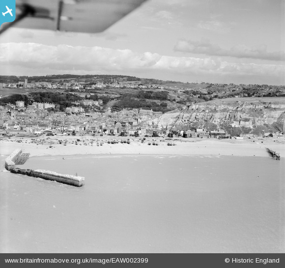
EAW002399 ENGLAND (1946). The harbour and Old Town, Hastings, from the south, 1946
© Copyright OpenStreetMap contributors and licensed by the OpenStreetMap Foundation. 2026. Cartography is licensed as CC BY-SA.
Nearby Images (4)
EAW002399

EAW006617

EAW022978

EAW022979

Details
| Title | [EAW002399] The harbour and Old Town, Hastings, from the south, 1946 |
| Reference | EAW002399 |
| Date | 16-September-1946 |
| Link | |
| Place name | HASTINGS |
| Parish | |
| District | |
| Country | ENGLAND |
| Easting / Northing | 582680, 109207 |
| Longitude / Latitude | 0.59563916272919, 50.852930081685 |
| National Grid Reference | TQ827092 |
Pins

whiffler |
Friday 14th of February 2025 02:25:37 PM | |
|
redmist |
Tuesday 11th of October 2022 09:32:10 PM | |
|
redmist |
Tuesday 11th of October 2022 09:30:18 PM | |
|
redmist |
Tuesday 11th of October 2022 09:12:10 PM | |
|
cptpies |
Thursday 14th of November 2019 01:52:26 PM |