
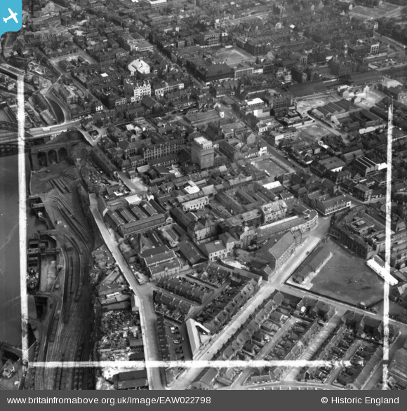
EAW022798 ENGLAND (1949). The Vaux and Associated Breweries Ltd Brewery on Castle Street and environs, Sunderland, 1949. This image has been produced from a print marked by Aerofilms Ltd for photo editing.
© Copyright OpenStreetMap contributors and licensed by the OpenStreetMap Foundation. 2026. Cartography is licensed as CC BY-SA.
Nearby Images (14)
EAW022798

EAW022830

EAW022796

EAW022795

EPW010360

EAW022794

EPW020544

EAW022797

EAW022793

EAW022831

EPW020542

EPW051127

EAW001027

EPW020540

Details
| Title | [EAW022798] The Vaux and Associated Breweries Ltd Brewery on Castle Street and environs, Sunderland, 1949. This image has been produced from a print marked by Aerofilms Ltd for photo editing. |
| Reference | EAW022798 |
| Date | 1-May-1949 |
| Link | |
| Place name | SUNDERLAND |
| Parish | |
| District | |
| Country | ENGLAND |
| Easting / Northing | 439455, 557232 |
| Longitude / Latitude | -1.3845536831005, 54.908158878404 |
| National Grid Reference | NZ395572 |
Pins

jeffsafc |
Thursday 14th of September 2017 01:20:30 AM | |
|
jeffsafc |
Thursday 14th of September 2017 01:19:35 AM | |
|
jeffsafc |
Thursday 14th of September 2017 01:14:53 AM | |
|
jeffsafc |
Thursday 14th of September 2017 01:14:03 AM | |
|
Kate Gill |
Friday 19th of August 2016 10:07:03 AM | |
|
Kate Gill |
Friday 19th of August 2016 10:06:11 AM | |
|
Kate Gill |
Friday 19th of August 2016 10:04:10 AM |