
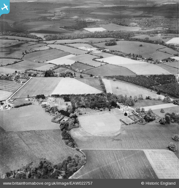
EAW022757 ENGLAND (1949). The Oratory School and environs, Woodcote, from the south-east 1949
© Copyright OpenStreetMap contributors and licensed by the OpenStreetMap Foundation. 2025. Cartography is licensed as CC BY-SA.
Nearby Images (5)
EAW022757

EAW033229

EAW022756

EAW022755

EAW022754

Details
| Title | [EAW022757] The Oratory School and environs, Woodcote, from the south-east 1949 |
| Reference | EAW022757 |
| Date | 29-April-1949 |
| Link | |
| Place name | WOODCOTE |
| Parish | WOODCOTE |
| District | |
| Country | ENGLAND |
| Easting / Northing | 465373, 181676 |
| Longitude / Latitude | -1.057485610386, 51.529724606822 |
| National Grid Reference | SU654817 |
Pins
Be the first to add a comment to this image!