
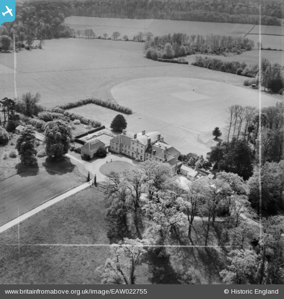
EAW022755 ENGLAND (1949). The Oratory School, Woodcote, 1949. This image was marked by Aerofilms Ltd for photo editing.
© Copyright OpenStreetMap contributors and licensed by the OpenStreetMap Foundation. 2025. Cartography is licensed as CC BY-SA.
Nearby Images (4)
EAW022755

EAW022754

EAW022756

EAW022757

Details
| Title | [EAW022755] The Oratory School, Woodcote, 1949. This image was marked by Aerofilms Ltd for photo editing. |
| Reference | EAW022755 |
| Date | 29-April-1949 |
| Link | |
| Place name | WOODCOTE |
| Parish | WOODCOTE |
| District | |
| Country | ENGLAND |
| Easting / Northing | 465430, 181883 |
| Longitude / Latitude | -1.0566254630316, 51.531579189411 |
| National Grid Reference | SU654819 |
Pins
Be the first to add a comment to this image!