
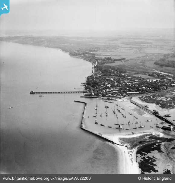
EAW022200 ENGLAND (1949). The Harbour, the Pier and the town, Yarmouth, from the west, 1949
© Copyright OpenStreetMap contributors and licensed by the OpenStreetMap Foundation. 2026. Cartography is licensed as CC BY-SA.
Nearby Images (4)
EAW022200

EAW022197

EPW022972

EPW022975

Details
| Title | [EAW022200] The Harbour, the Pier and the town, Yarmouth, from the west, 1949 |
| Reference | EAW022200 |
| Date | 17-April-1949 |
| Link | |
| Place name | YARMOUTH |
| Parish | FRESHWATER |
| District | |
| Country | ENGLAND |
| Easting / Northing | 435038, 89788 |
| Longitude / Latitude | -1.5037464065884, 50.706097020143 |
| National Grid Reference | SZ350898 |
Pins
Be the first to add a comment to this image!